Geology highlights: Penzance to St Ives

One of the stand-outs for me about this coastline is the spectacular geology - it’s incredibly varied, with some of the oldest formations I will see until I get up to Scotland. Here is a little summary of the geology that has stood out to me so far.


Penzance and Mount’s Bay


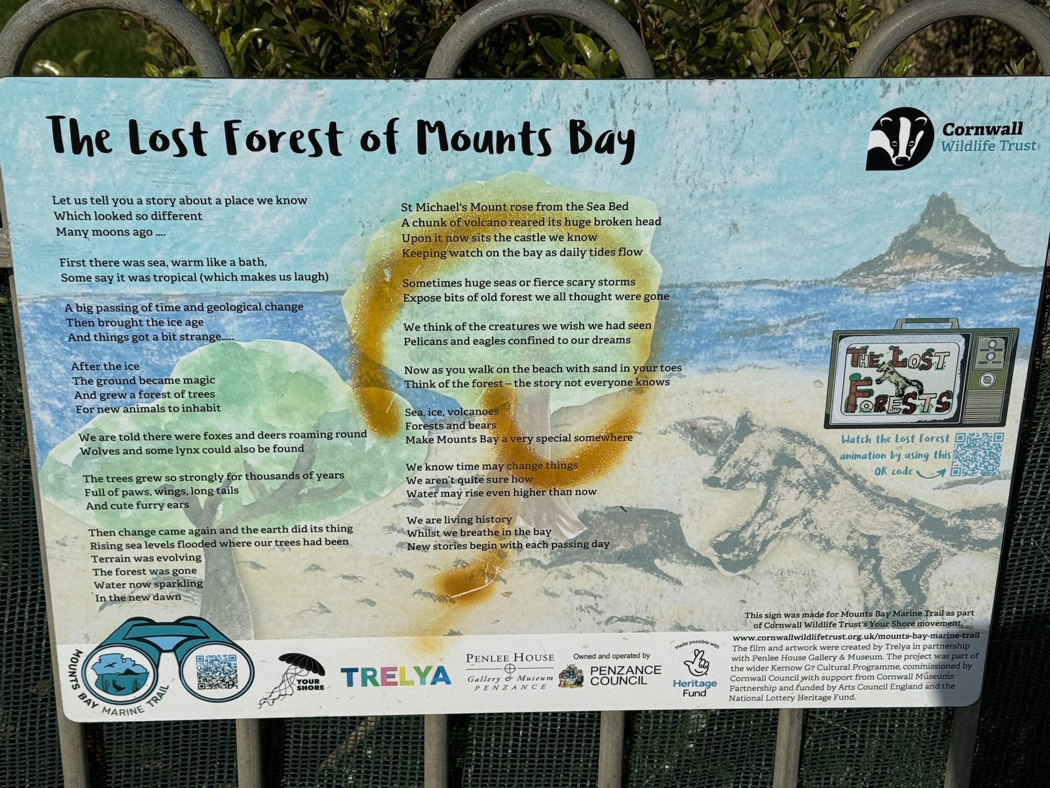
Mainly Devonian slates and sandstones with more recent alluvial deposits and beach sands in the bay,, and the beautiful St Michael’s Mount a granite outcrop connected to the mainland by a tidal causeway.


Mount’s Bay to Porthcurno 


Metamorphosed mudstones and slates apparently called killas appear along side granite intrusions from the larger Land’s End Granite mass which I crossed on the second day. We started to notice striking black “dykes” - exposures of contact metamorphism, where the granite intruded into the sedimentary rocks. I hadn’t been aware of these before but they are called hornfels.


There are also quartz veins in the cliffs , part of the mineralization for which the are is famed for the historical mining of tin and copper which I was to see increasingly on subsequent days.


Zennor to St Ives section


I will always remember this stretch for the classic granite cliffs, part of the Land’s End granite backbone, and a particular love of mine at Bosigran Castle. The coastline here is particularly rugged underfoot with a boulder field to navigate. There has remarkable weather g and erosion of this tough granite giving rise to these fabulous granite tors and offshore outcrops.


Inland is extensive granitic moorland, with erratic boulders - and a lot of surface water pouring off the slopes leading to pretty extensive boogy areas!


At Gurnard’s Head and Zennor Head, the metamorphosed killas reappear alongside the glorious granite outcrops and toes, leading to some imposing scenery and contrasting rock colour.


All along this coast there are some gorgeous coves with golden sand made up of eroded mica and feldspar - and the fabulous turquoise waters which lift my spirits so much.


There are also peri glacial head deposits - basically frost-shattered and consequently friable rock layers on the cliff slopes. What I hadn’t taken in - I’m ashamed to admit - were the raised beaches and wave cut platforms resulting from changing sea levels during the last ice age - obvious now I think about it, and will look out for going forward…… my “excuse” was I was too busy looking at the rocks! 


Comments

Popular posts from this blog

Choosing the Route

  Since I was first diagnosed with CLL, and started long distance walking, I've been fortunate enough to walk the North and South Downs Ways (2018), the Norfolk Coastal Path (2019), Coast to Coast (2021), the Menorcan Coastal Path and the Ridgeway (2023), the Pembrokeshire Coastal Path, the Dales Highway and the Cotswold Way (2024). In amongst those, I walked the Pennine Way (2020) and the South West Coastal Path (2022) for charity.   In walking these routes, I realised that I love walking on my own, enjoy being immersed in the surroundings around me, able to go at my own pace, stop, observe, and simply be. I love the high moors and mountains but also our beautiful rugged coast - especially the north Cornwall coastline. I very much wanted to re-walk that part of the South West Coastal Path but extended to Penzance - a stretch with which I had been particularly taken.  I also wanted to re-walk the Pennine Way - eventually postponing this so as to incorporate it into t...

The Home Stretch: Looking back on my journey so far

I can’t quite believe I’m writing this… but there are only 19 days left of this wild, beautiful, crazy journey from Land’s End to John O’Groats! In some ways, it feels like I’ve been walking forever - through rain or shine I have so far walked 1,110 miles! And yet, I can still remember the excitement and the nerves I felt setting off at the very bottom of Cornwall - but that does seem a lifetime away. But this isn’t just about the miles. It never was. It’s been about the extraordinary and varied natural world of the British Isles, which I’ve had the chance to really savour at leisure.    It’s been about the people I have met and the huge range of conversations and support I’ve had.   It’s been knowing that my father is meticulously following me on the map with a piece of precious bluejohn and willing me on every step of the way - as have so many others. But most of all it’s been about remembering my beautiful, wise and ever-patient mother, who I will always treasure ...

Day 80: Kinlochleven to Braveheart Car Park (Fort William) (13.5 miles)

The previous night we had been delighted when a pine marten came to visit the bird feeders while we ate dinner. The feeders were also drawing in chaffinches, coal and great tits, and siskins.  Having decided to delay my rest day to the following day when bad weather was forecast, I still pleaded for a slower start that morning, which meant that with a 90 minute drive back to my start point we didn’t set off until 11am. It was a steady and in some places, steep climb out of Kinlochleven, but with a breeze blowing, no midges and plenty of interesting geology to work out. In these lower stretches there was metamorphosed limestone which almost looked like marble in some cases. Further up we saw slate bedding which had been skimmed off by glacial erosion…. Martin acted as model for my photo. We got to the first col at 12 with fine views back to the north face of some of the Glen Coe crags up the Kinlochleven valley, and into the High Pass where I would continue to walk. Granite was now ...